Ah, Sunday. Day of rest. The alarm going off at 5:45am is obviously completely fine when it’s Day 1 of your ML qualification journey — and something tells me this routine isn’t going anywhere for quite a while.
The two hour drive from Cheshire to Grasmere passed uneventfully for once, which meant I arrived just before 9am with my coffee still hot. Small win, noted. After a quick kit reshuffle — I’ve learned to keep a core set of gear permanently in the car so I can grab and go rather than repack from scratch each time (though not the walking socks, in case you were concerned) — I set off from the village in the opposite direction to everyone else.
Into the woods — and into the rain
The first section took me through the woodland around Lancrigg and up towards White Crag. The grey clouds that had been hanging around since the drive weren’t going anywhere, and before long they made their intentions clear. I ducked under the trees and waited, running the optimistic calculation of how long this would last.
Reader, it didn’t pass.
Low cloud firmly in place, it was clearly a case of cracking on. And naturally, the moment I pulled on the waterproof trousers — precisely thirty minutes into the day — the rain stopped. What followed was a solid thirty minutes of jacket on, jacket off up the path towards White Crag. A Frank Spencer tribute act against the backdrop of the Grasmere fells. It eventually eased off. We move on.
High Raven Crag — the anemometer makes its debut
Working up towards High Raven Crag, the wind started to build. This felt like the right moment to apply the skills from my Fear of Heights course with Beyond the Edge — making my way to the edge of the crag overlooking the valley, reading the ground and the exposure carefully rather than just stopping short of it. Controlled, deliberate. Progress.
It also felt like the right moment to road-test my new toy: a pocket anemometer. Wind speed, wind chill — actual numbers rather than a finger in the air. And with the readings in hand I started working through a couple of genuinely useful ML questions: at what point does this become a group management issue? How do you let people enjoy a view like this — and it was a view — without letting the experience drift into risk? Standing near a crag edge in building wind is a very different thing for a solo candidate with a vested interest in being careful than it is for a mixed group, some of whom will have no instinct for it at all. Worth sitting with.
Feature identification — and a seasonal caveat
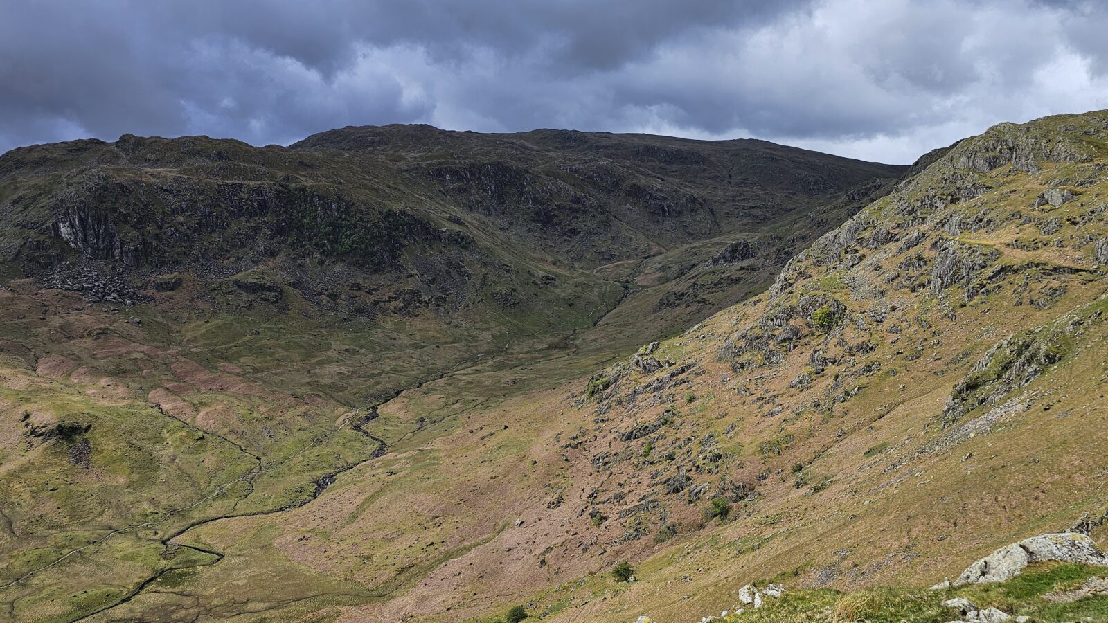
The walk continued along the main ridge path, and I made a deliberate effort to slow down and work the map. Walls on the valley floor below provided clean, readable features to line up against the 1:25,000 — gullies, scree slopes, rocky outcrops all cross-checked as I went. Solid practice for building the continuous verification habit rather than the occasional “I think I’m about here” glance at the map.
That said — I did note to myself that in winter, with heavy snow on the valley floor burying every wall and field boundary, that particular technique will be about as useful as a chocolate fire guard. Something to factor in when conditions change.
Helm Crag and Gibson Knott — the technical stuff
From Helm Crag — the Lion and the Lamb, or depending on your angle, the old lady playing the organ — the ridge continues to Gibson Knott, and this rocky little outcrop gave me a good chance to work on something I want to improve: movement across technical, uneven ground without defaulting to hands. Balance, weight placement, trusting the grip of the Scarpas rather than grabbing for holds. Some sections were genuinely tricky, but that’s the point. It’s not a skill you build by avoiding it.
Calf Crag — lunch with a view
Calf Crag cairn made a natural lunch stop, with a solid outlook over Broadstone Head and Ferngill Crag. The clouds had been lifting through the morning and by this point there was real visibility — a welcome change from the grey start. Stood on the edge of the crag to eat, looked out and down, and reflected that this is probably not how most people spend their Sunday afternoons.
It also struck me, sitting there, just how different the Lake District feels to the Peak District or Snowdonia. There’s a character to it that’s hard to put into words until you’re actually in it. It feels older somehow — more rugged, more settled into itself. The gullies run deeper, the rock looks like it’s been weathered for considerably longer and couldn’t care less, and the scale of the landscape creeps up on you in a way that neither the Peaks nor Snowdonia quite manages. I’ve spent plenty of time in both, but there was something about the view from Calf Crag that made the difference land properly for the first time.
Steel Fell — bearings and a boundary mystery
After lunch, bearings practice across Steel Fell. The ground here is open and relatively featureless, which makes it good compass work territory. I spotted a long row of what looked like an old boundary feature running alongside the fell edge — the alignment tallied with what I’d expect from a Civil Parish Boundary, and following it with the eye as far as visibility allowed was a nice unexpected piece of landscape history in the middle of a nav exercise.
Dead Pike and the descent
From Dead Pike it was time to head back. Tired legs, loose scree, and ample opportunity to think carefully about foot placement and balance — the kind of ground that doesn’t let you zone out. I used the descent to work the map from contour features, wall boundaries, gullies and small streams, checking position continuously rather than saving it for when things got ambiguous.
The view back to Helm Crag on the way down was genuinely spectacular — seeing the full shape of where the morning had gone from a completely different angle. A quick stop at the bottom for a brew and a brief conversation with a sheep who showed more interest in my rucksack than the view, and then it was an uneventful walk back to the car in sunshine — singing to myself the whole way. (So much for protecting the environment.)
QMD 1 — logged.
A big day with a lot in it. Navigation, exposure, technical movement, wind assessment, group management thinking. The Lake District delivered on all fronts — including the weather. More of this to come.
One thing worth saying clearly: Day 1 was never meant to be a technically demanding ML day, and it wasn’t. This whole process is a progressive sequence — building time on the hill, getting comfortable with the environment, developing the habits that need to be second nature before anything more formal begins. Training is still some way down the road, and I won’t be heading there until I’m genuinely ready. As for assessment — that’s not even close to being on the radar yet. And that’s exactly how it should be.